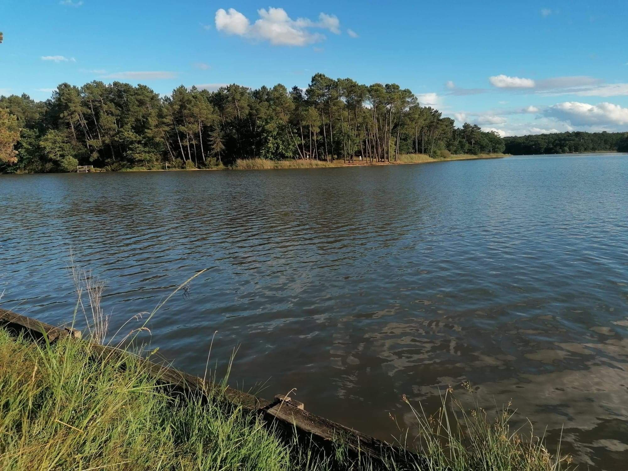
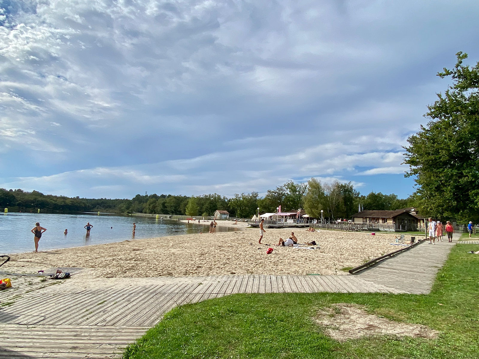
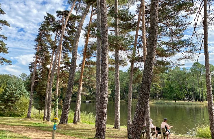
The Grand Étang de la Jemaye for a day in nature in the Périgord Blanc
The Grand Étang de la Jemaye for a day in nature in the Périgord Blanc
2,0 km - La Jemaye
Rest and relaxation
49 m - La Jemaye
Walking
74 m - La Jemaye
Walking
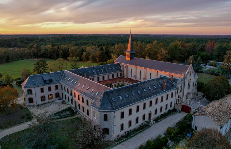
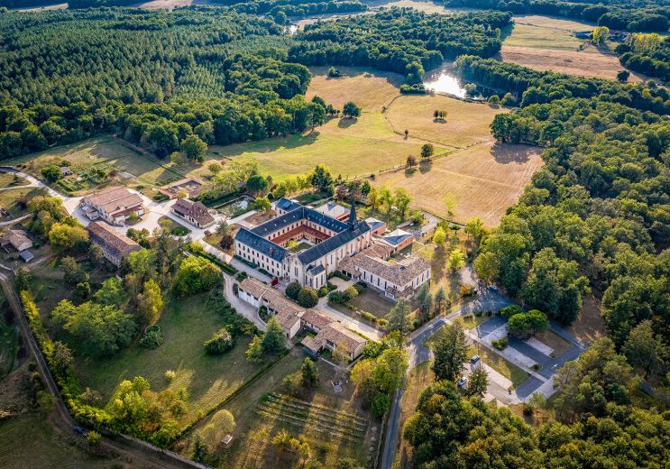
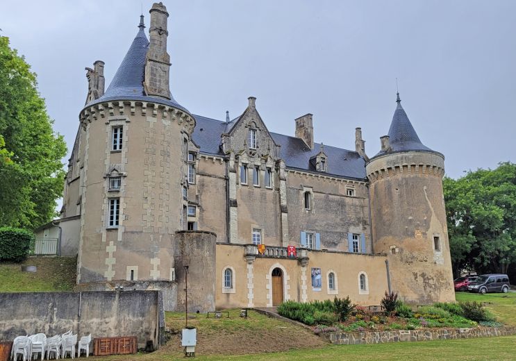
Founded in 1868 by monks from the Port du Salut Abbey in Mayenne, and restored in 1923 by Cistercian nuns returning ...
6,2 km - Échourgnac
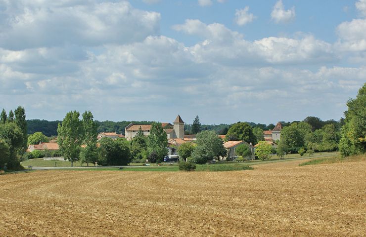
Saint-Privat-des-Prés is a village in the Périgord with an undeniable character. For the historical side, it ...
8,8 km - Saint Privat des Prés

Known as the “capital” of Périgord Vert in Dordogne, Ribérac is a perfect blend of history, nature and the ...
10,9 km - Ribérac
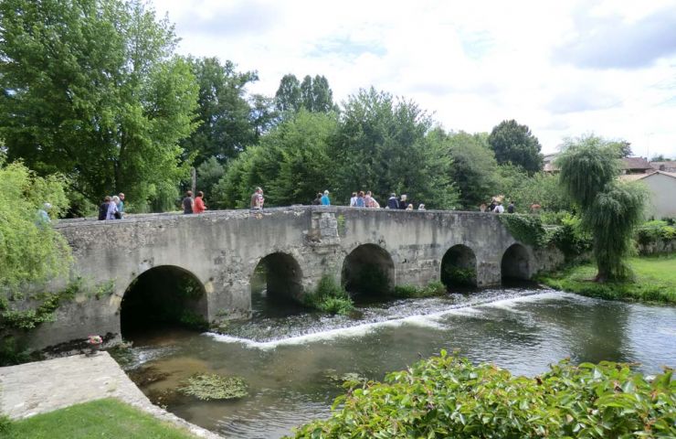
Saint-Aulaye, opens the doors of Périgord Vert to you. With its built heritage such as the ramparts of the 13th ...
12,1 km - Saint Aulaye

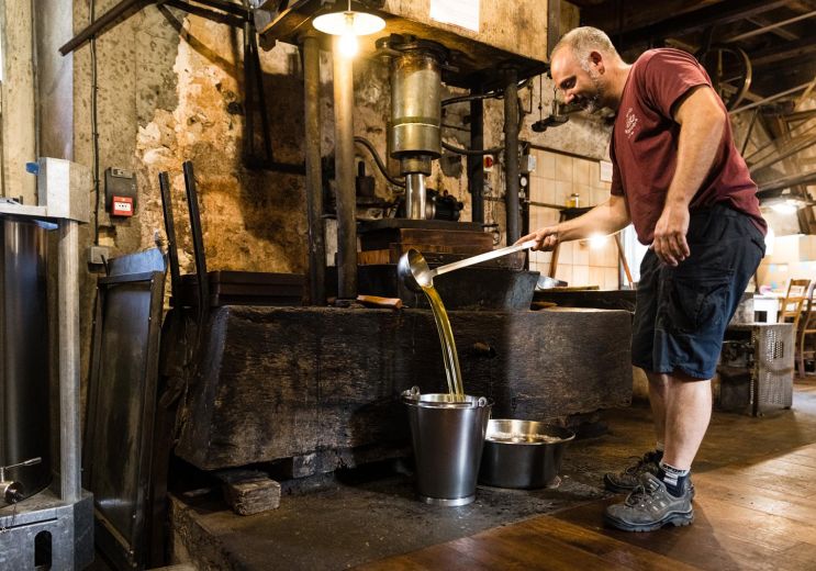
COGNAC AND WINE MUSEUM The still presented in "Le CHAI", the COGNAC and WINE Museum of Saint-Aulaye, is an ...
12,5 km - Saint Aulaye

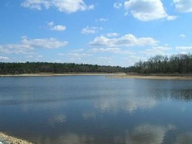
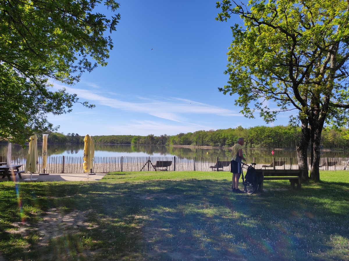
Les étangs de la Jemaye
Étang de Laroche
24410 La Jemaye
45° 9'35.58"N, 0° 16'41.74"E
2,0 km - La Jemaye
Rest and relaxation
5,3 km - Échourgnac
Food Lover
12,1 km - Saint Aulaye
Culture and Heritage
16,4 km - Neuvic
Food Lover

19,9 km - Montagrier
Rest and relaxation
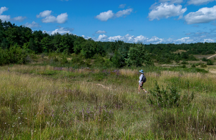
La Forêt de la Double is a large forest area of 50,000 hectares, between the rivers La Dronne and l'Isle. It is an ...
17,8 km - Montpon Ménestérol

To the west of the department, on the border with the Charente, the Municipality of La Rochebeaucourt-et-Argentine ...
35,7 km - Rochebeaucourt et Argentine

North of Brantôme-en-Périgord, in the town of Saint-Crépin-de-Richemont, the Meulières Interpretation Trail is ...
38,4 km - Saint Crépin de Richemont

Located between the towns of Trémolat and Mauzac-et-Grand-Castang, the Cingle de Trémolat is a bend in the ...
51,9 km - Trémolat
The Causses de l'Isle are formed by a limestone plateau on the heights of Savignac-les-Églises, north of ...
52,0 km - Savignac les Eglises