Echourgnac Abbey: make a cheese out of it!
Echourgnac Abbey: make a cheese out of it!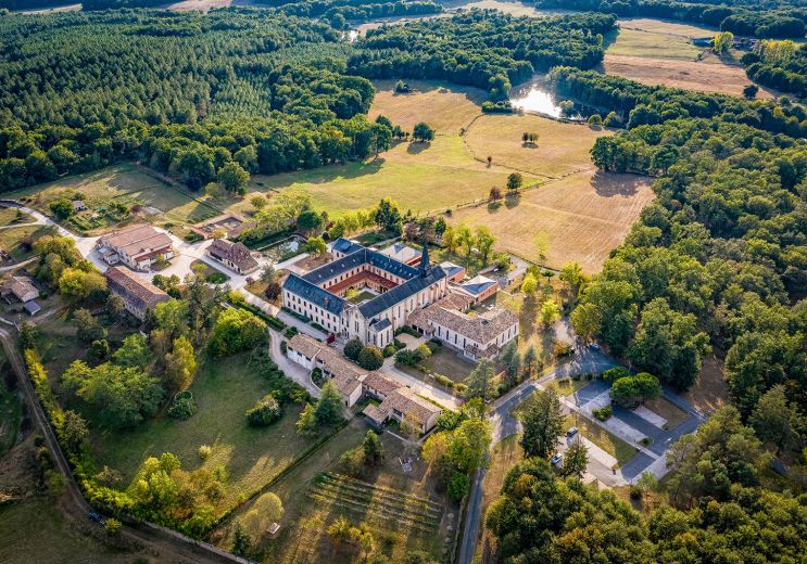
12,7 km - Échourgnac
Food Lover
1,0 km - Montpon Ménestérol
Walking
1,3 km - Montpon Ménestérol
Walking
1,3 km - Montpon Ménestérol
Velo hybrid Bike / road
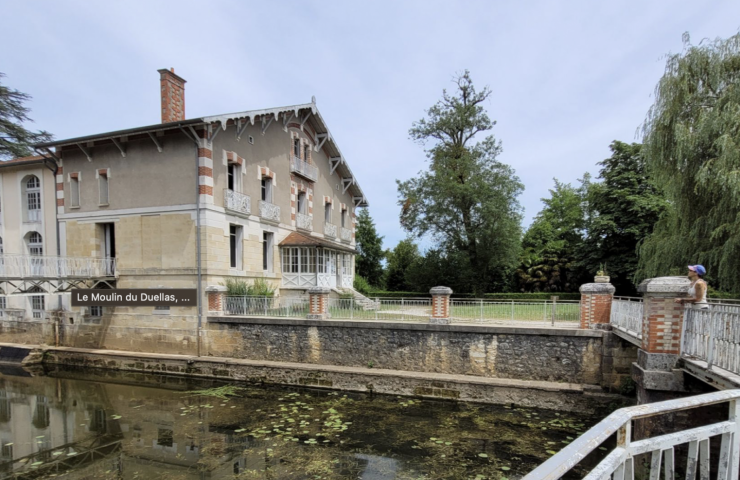
The Moulin de Duellas offers an idyllic environment for a stroll in Saint-Martial-d'Artenset. The museum presents ...
4,6 km - Saint Martial d'Artenset

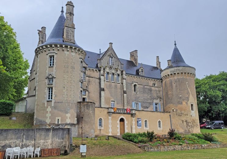
Founded in 1868 by monks from the Port du Salut Abbey in Mayenne, and restored in 1923 by Cistercian nuns returning ...
12,5 km - Échourgnac
Mussidan is a beautiful town located in the Périgord, in the Dordogne. It is renowned for its rich historical ...
15,8 km - Mussidan

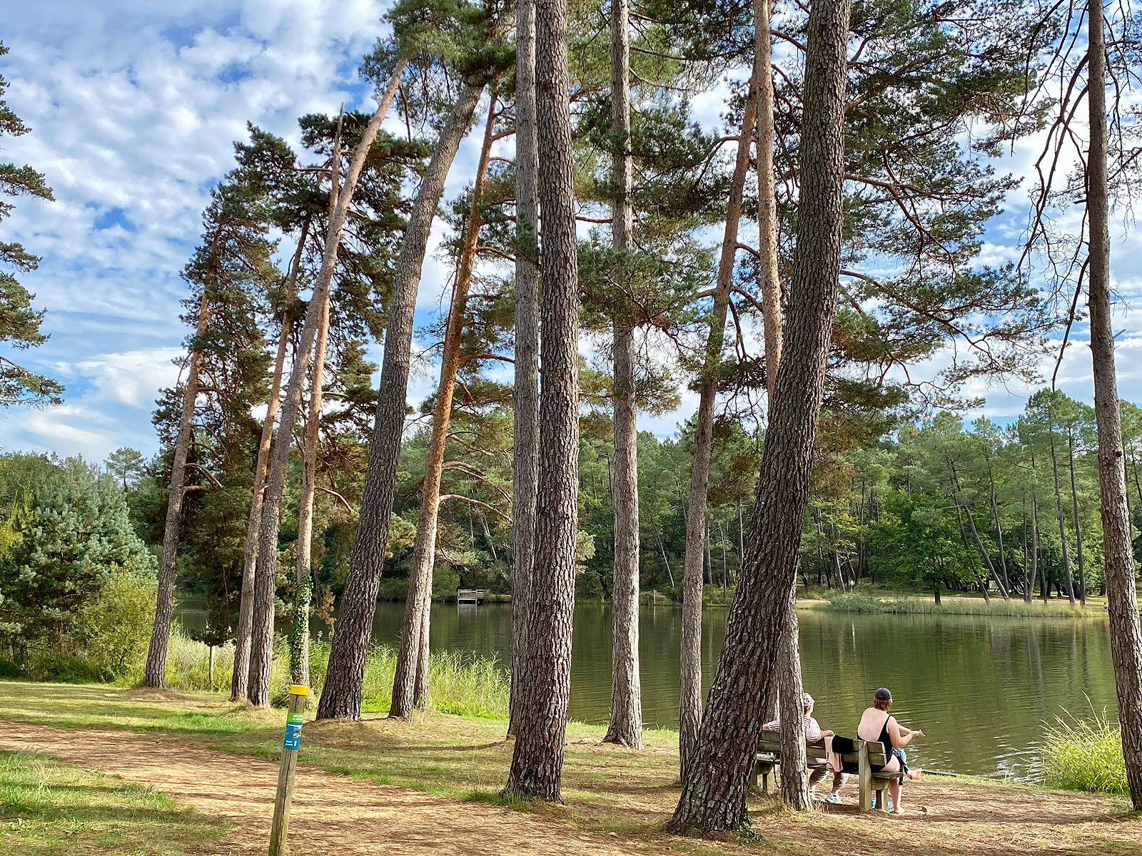
To the south of Ribérac, in the forest of Double, the ponds of Jemaye are part of a wetland, made up of different ...
17,8 km - La Jemaye

THE GARDENS OF SARDY: A ROMANTIC WALK BETWEEN ITALY AND ENGLAND A remarkable garden in the heart of the Périgord ...
18,5 km - Vélines

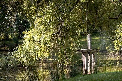
La Forêt de la Double
24700 Montpon Ménestérol
45° 1'12.26"N, 0° 10'6.68"E
12,7 km - Échourgnac
Food Lover

18,1 km - La Jemaye
Rest and relaxation
20,6 km - Saint Aulaye
Culture and Heritage
25,3 km - Neuvic
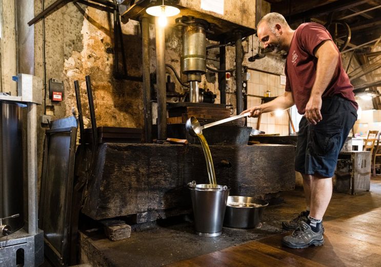
Food Lover

28,5 km - Gageac et Rouillac
Food Lover
To the south of Ribérac, in the forest of Double, the ponds of Jemaye are part of a wetland, made up of different ...
17,8 km - La Jemaye

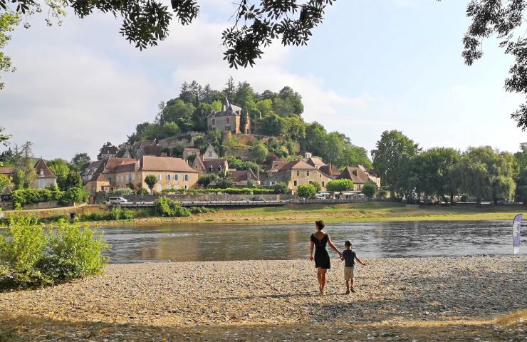
Located between the towns of Trémolat and Mauzac-et-Grand-Castang, the Cingle de Trémolat is a bend in the ...
52,9 km - Trémolat

To the west of the department, on the border with the Charente, the Municipality of La Rochebeaucourt-et-Argentine ...
53,0 km - Rochebeaucourt et Argentine

North of Brantôme-en-Périgord, in the town of Saint-Crépin-de-Richemont, the Meulières Interpretation Trail is ...
55,9 km - Saint Crépin de Richemont
The Plage de Limeuil is located in the Cingle de Limeuil, near the point of confluence between the Vézère and the ...
58,8 km - Limeuil