Le Guide du Périgord
Discover our other guides

- Home page
- Tourism
- Discover
- Hiking itineraries in Périgord
- Saint Agne
- Boucle du Canal de Lalinde - Mouleydier
- Saint Agne
- Hiking itineraries in Périgord
- Discover
- Tourism
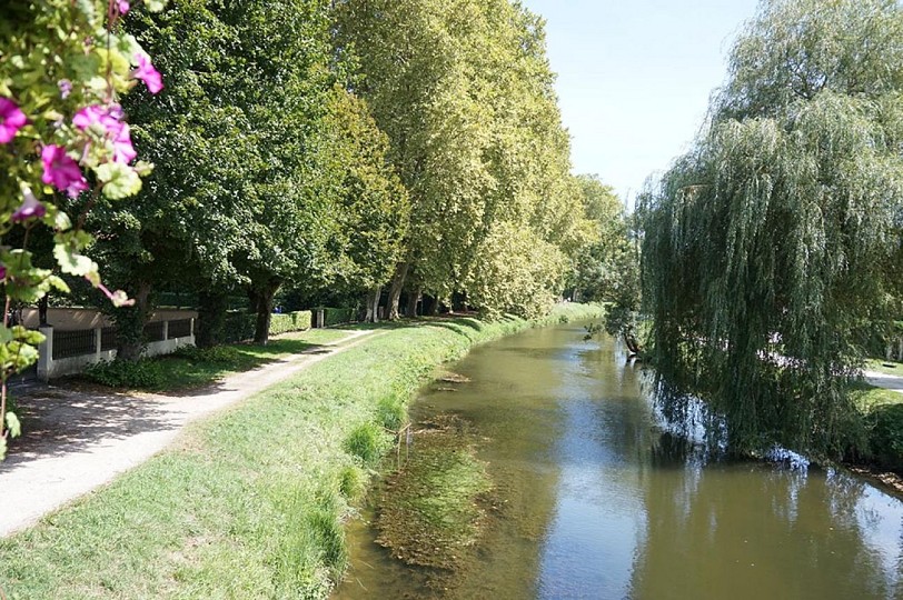
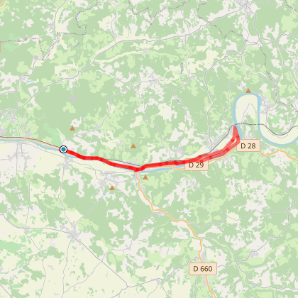
Boucle du Canal de Lalinde - Mouleydier
You will like also



You will also like
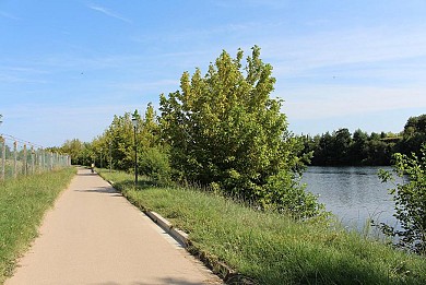
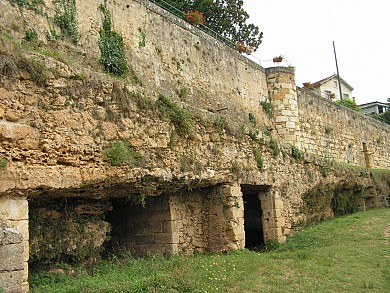
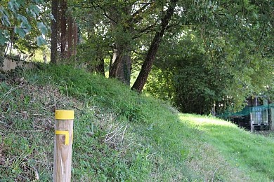
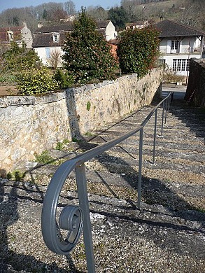
We tested for you
Lalinde Bastide

8,4 km
The Verdots Vineyard, producing great wines from Bergerac and Monbazillac

9,8 km
Bergerac and its must-sees: the Top 8!

11,9 km
The Bergerac V91 greenway cycle route

11,9 km
The "Gabarres" of Bergerac : An unusual tour on the Dordogne river

11,9 km
Eating in bergerac, in the food centre of the town

11,9 km
Visit the Château de Monbazillac, its architecture, its view, its vines and its exceptional sweet wine!

12,7 km
Drink wine in accordance with your convictions! The Bergerac Duras vineyard and the environmental transition

12,7 km