
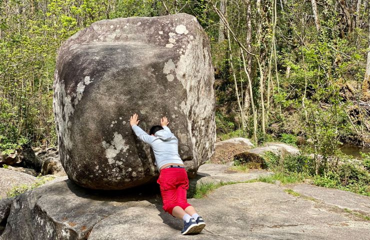
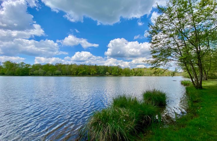
The Tourbières de Vendoire, a magical site for walking!
The Tourbières de Vendoire, a magical site for walking!
2,5 km - Vendoire
Rest and relaxation

Les Tourbières de Vendoire
Site Naturel des Tourbières
Le Petit Lion
24320 Vendoire
Phone : 05 53 90 79 56
45° 24'39.19"N, 0° 16'28.49"E

Château de Clauzuroux, gîtes and guest rooms in a residence listed in the inventory of Historic Monuments The ...
6,4 km - Champagne et Fontaine

To the west of the department, on the border with the Charente, the Municipality of La Rochebeaucourt-et-Argentine ...
10,6 km - Rochebeaucourt et Argentine

The La-Tour-Blanche Records Museum is an unusual place. It houses a somewhat catch-all collection of objects linked ...
14,3 km - La Tour Blanche

The Terres Blanches Windmill culminates at the top of a hill, on the heights of the town of Cercles. This is an ...
14,6 km - Cercles
2,5 km - Vendoire
Rest and relaxation

10,5 km - Rochebeaucourt et Argentine
Sport

13,1 km - Sainte Croix de Mareuil
Weekend & Holidays

14,3 km - La Tour Blanche
Culture and Heritage

22,1 km - Montagrier
Rest and relaxation
To the west of the department, on the border with the Charente, the Municipality of La Rochebeaucourt-et-Argentine ...
10,6 km - Rochebeaucourt et Argentine

North of Brantôme-en-Périgord, in the town of Saint-Crépin-de-Richemont, the Meulières Interpretation Trail is ...
25,5 km - Saint Crépin de Richemont

To the south of Ribérac, in the forest of Double, the ponds of Jemaye are part of a wetland, made up of different ...
27,9 km - La Jemaye
In the town of Saint-Estèphe, in the heart of the Périgord-Limousin Regional Nature Park, the Roc Branlant Site is ...
36,6 km - Saint Estèphe
In the vicinity of Nontron, the two ponds are considered to be the most beautiful in the Périgord-Limousin Regional ...
37,6 km - Saint Estèphe