-
English
-
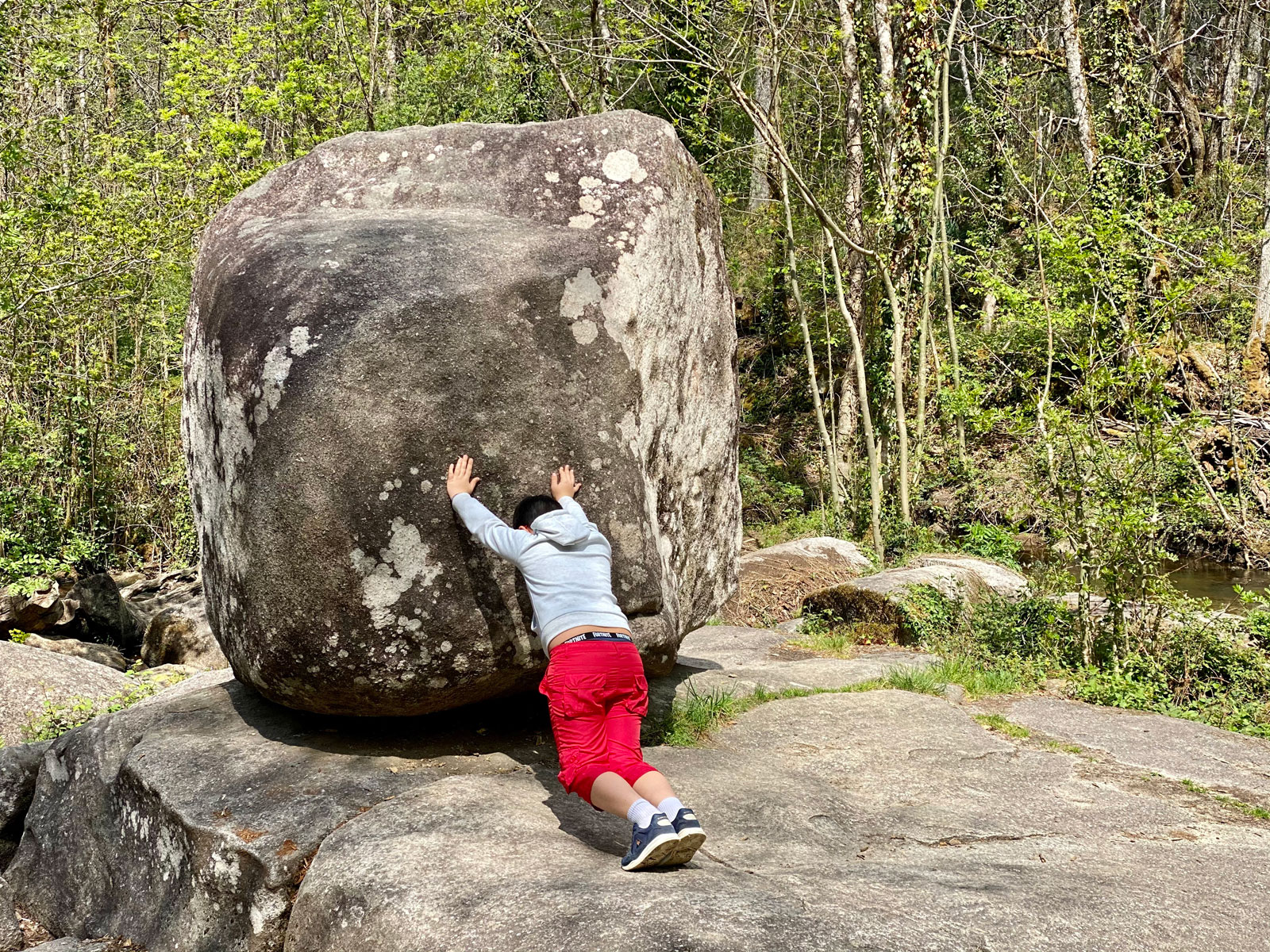
In the town of Saint-Estèphe, in the heart of the Périgord-Limousin Regional Nature Park , the Roc Branlant Site is a geological curiosity. The Roc Branlant is a large block of granite 3 meters long, deposited by the stream. It is the most impressive block of stone in a group known as the “Chapelé du Diable”. A hiking loop of about 4 km, starting from the village, allows you to walk along this astonishing site and follow the river La Doue , to the Etang de Saint-Estèphe. It is also an interesting botanical trail. By the way, do not fail to "sculpt" yourself a lucky charm, offered by the Roc Branlant!
-
- Français
- Home page
- Tourism
- Discover
- Tourist sites
- Nature Reserves / Parks
- Saint Estèphe
- Le Site du Roc Branlant et Sentier Géologique
- Saint Estèphe
- Nature Reserves / Parks
- Tourist sites
- Discover
- Tourism
Le Site du Roc Branlant et Sentier Géologique Nature Reserves / Parks in Saint Estèphe
Ride around
Saint-Estephe en Ecomobilité - Pêche et légendes autour du lac
Saint-Estephe en Ecomobilité - Pêche et légendes autour du lac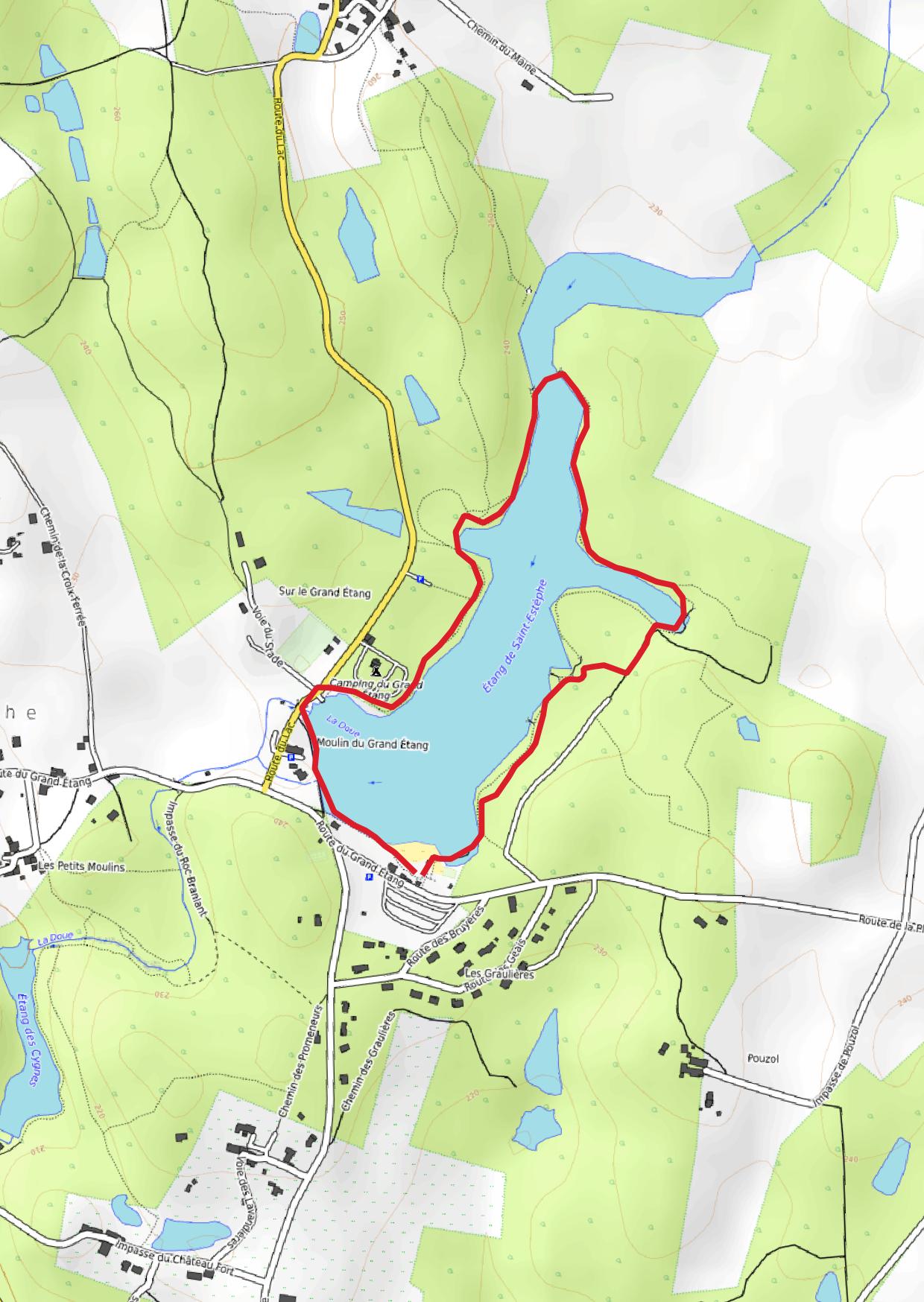
439 m - Saint Estèphe
Walking
De Piégut-Pluviers à l'Etang Grolhier
De Piégut-Pluviers à l'Etang Grolhier
4,1 km - Piégut Pluviers
Walking
You will like also
Les étangs de Saint Saut Lacoussière et de Saint Estèphe
Les étangs de Saint Saut Lacoussière et de Saint Estèphe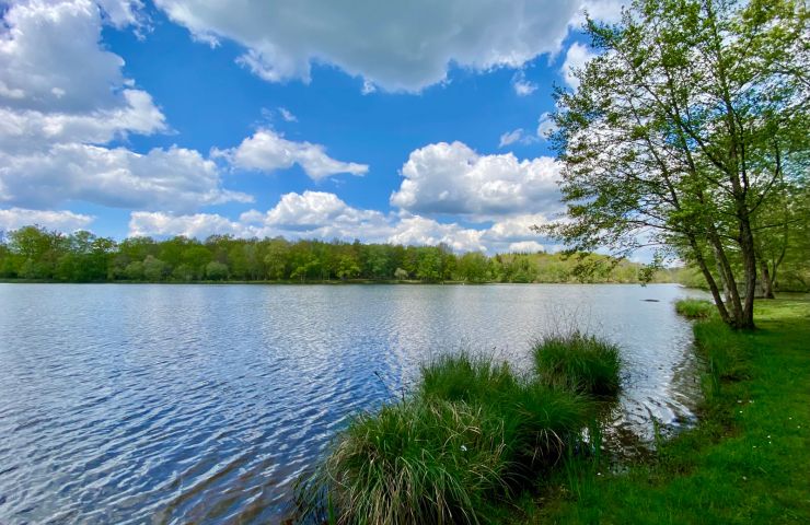
In the vicinity of Nontron, the two ponds are considered to be the most beautiful in the Périgord-Limousin Regional ...
1,1 km - Saint Estèphe
Piégut-Pluviers
Piégut-Pluviers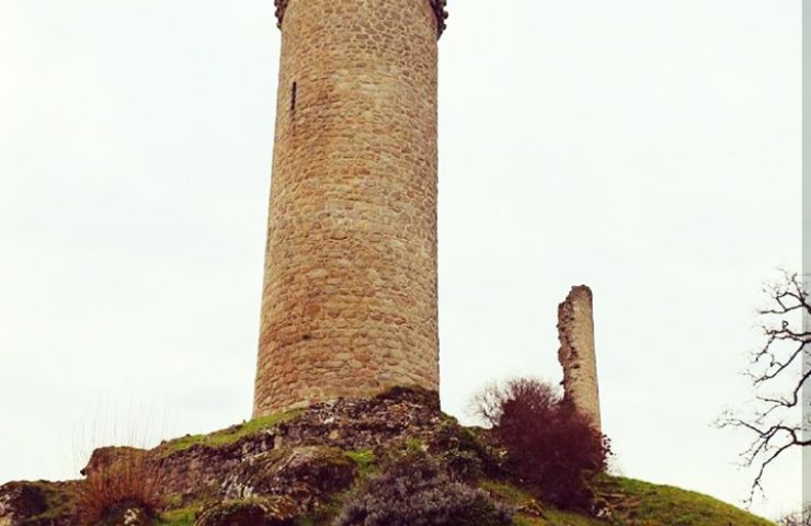
Piégut-Pluviers is a charming village nestled in the heart of Périgord, more precisely in Nontronnais. It is known ...
4,0 km - Piégut Pluviers
NONTRON
NONTRON
Sub-Prefecture of the Department of Dordogne, Nontron is a large town in the North Dordogne, Capital of the ...
6,6 km - Nontron
Abjat sur Bandiat
Abjat sur Bandiat
Abjat sur Bandiat is a commune in the Périgord Vert, made up of a multitude of small villages and crossed by a ...
7,0 km - Abjat sur Bandiat
Nontronnaise Cutlery
Nontronnaise Cutlery
Coutellerie Nontronnaise, heir to immemorial know-how, is part of the French landscape of regional knives. A Nontron ...
7,1 km - Nontron

Le Site du Roc Branlant et Sentier Géologique
Address
24360 Saint Estèphe
GPS coordinates
45° 35'20.8"N, 0° 40'6.86"E
Directions
We tested for you

Responsible tourism & sustainable holidays in Périgord
Responsible tourism & sustainable holidays in Périgord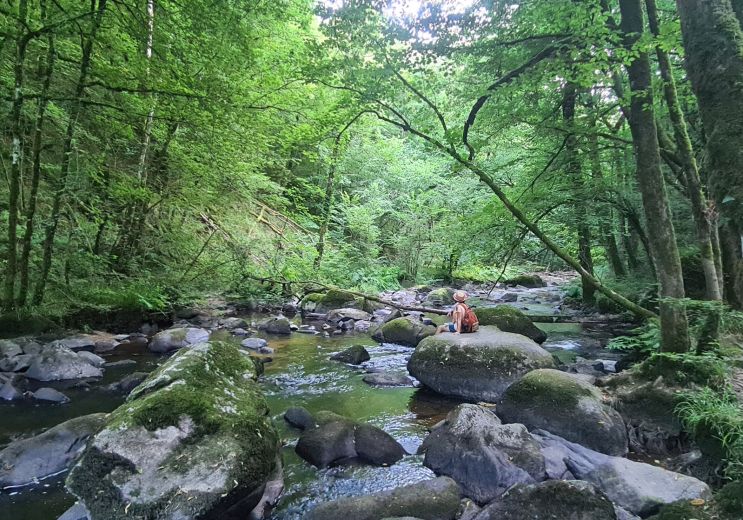
11,3 km - Champs Romain
Not to be missed
Family hike at Saut du Chalard in Périgord Vert
Family hike at Saut du Chalard in Périgord Vert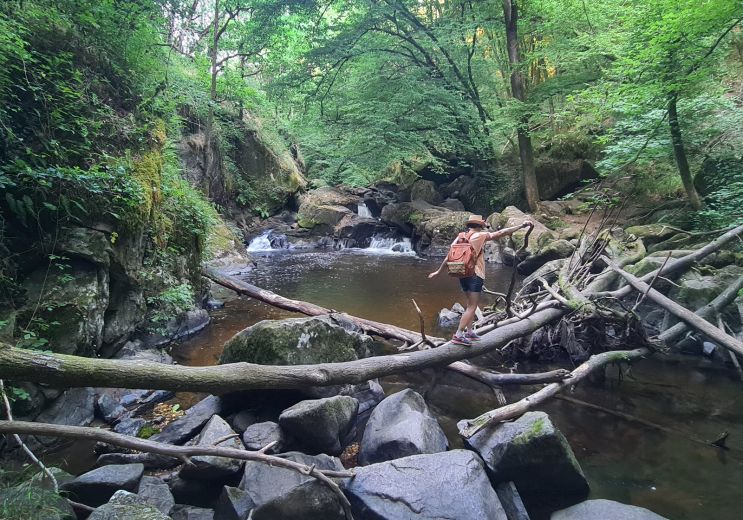
11,3 km - Champs Romain
Sport
Château le Verdoyer: Family holidays in Périgord Vert
Château le Verdoyer: Family holidays in Périgord Vert
11,3 km - Champs Romain
Rest and relaxation
La Grotte de Villars : concretions and prehistoric paintings!
La Grotte de Villars : concretions and prehistoric paintings!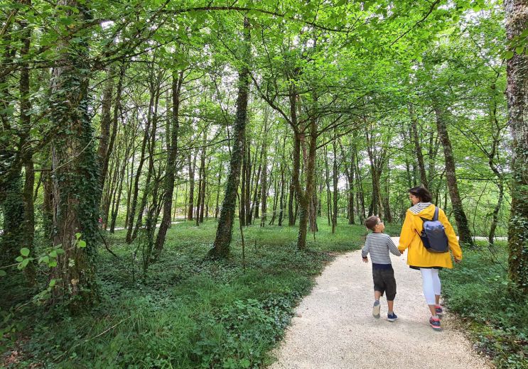
19,8 km - Villars
Culture and Heritage
You will also like
Les étangs de Saint Saut Lacoussière et de Saint Estèphe
Les étangs de Saint Saut Lacoussière et de Saint Estèphe
In the vicinity of Nontron, the two ponds are considered to be the most beautiful in the Périgord-Limousin Regional ...
1,1 km - Saint Estèphe
Le Saut du Chalard
Le Saut du Chalard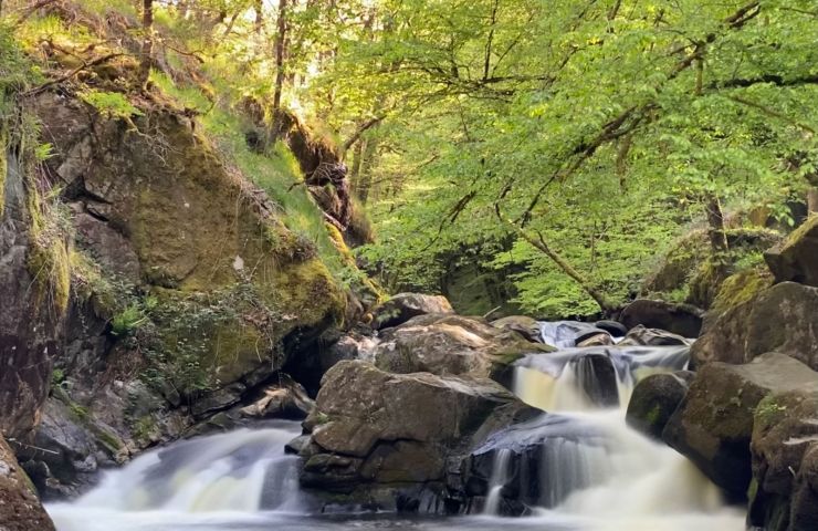
Around Nontron, in Champs-Romain, the Saud du Chalard is a charming waterfall in the heart of the Perigord forest. A ...
11,8 km - Champs Romain
Le Trou de Philippou
Le Trou de Philippou
Near Nontron, the town of Saint-Saud-Lacoussière is crossed by the Dronne. This charming river has many facets. ...
12,8 km - Saint Saud Lacoussière
La Retenue de Mialet
La Retenue de Mialet
The Miallet reservoir is a body of water, located in Périgord Vert, near Saint-Saud-Lacoussière. It is part of the ...
18,1 km - Mialet
Sentier d’interprétation des Meulières
Sentier d’interprétation des Meulières
North of Brantôme-en-Périgord, in the town of Saint-Crépin-de-Richemont, the Meulières Interpretation Trail is ...
19,7 km - Saint Crépin de Richemont