Le Guide du Périgord
Discover our other guides

- Home page
- Tourism
- Discover
- Hiking itineraries in Périgord
- Angoisse
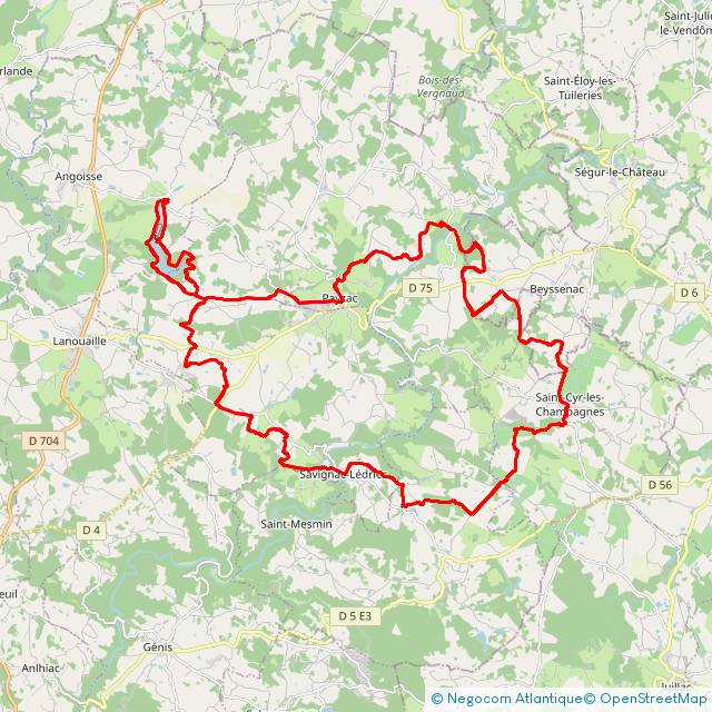
- Circuit VTT Naturellement Périgord n°10 rouge
- Angoisse
- Hiking itineraries in Périgord
- Discover
- Tourism
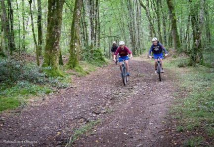
Circuit VTT Naturellement Périgord n°10 rouge
You will like also

You will also like
We tested for you
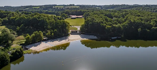
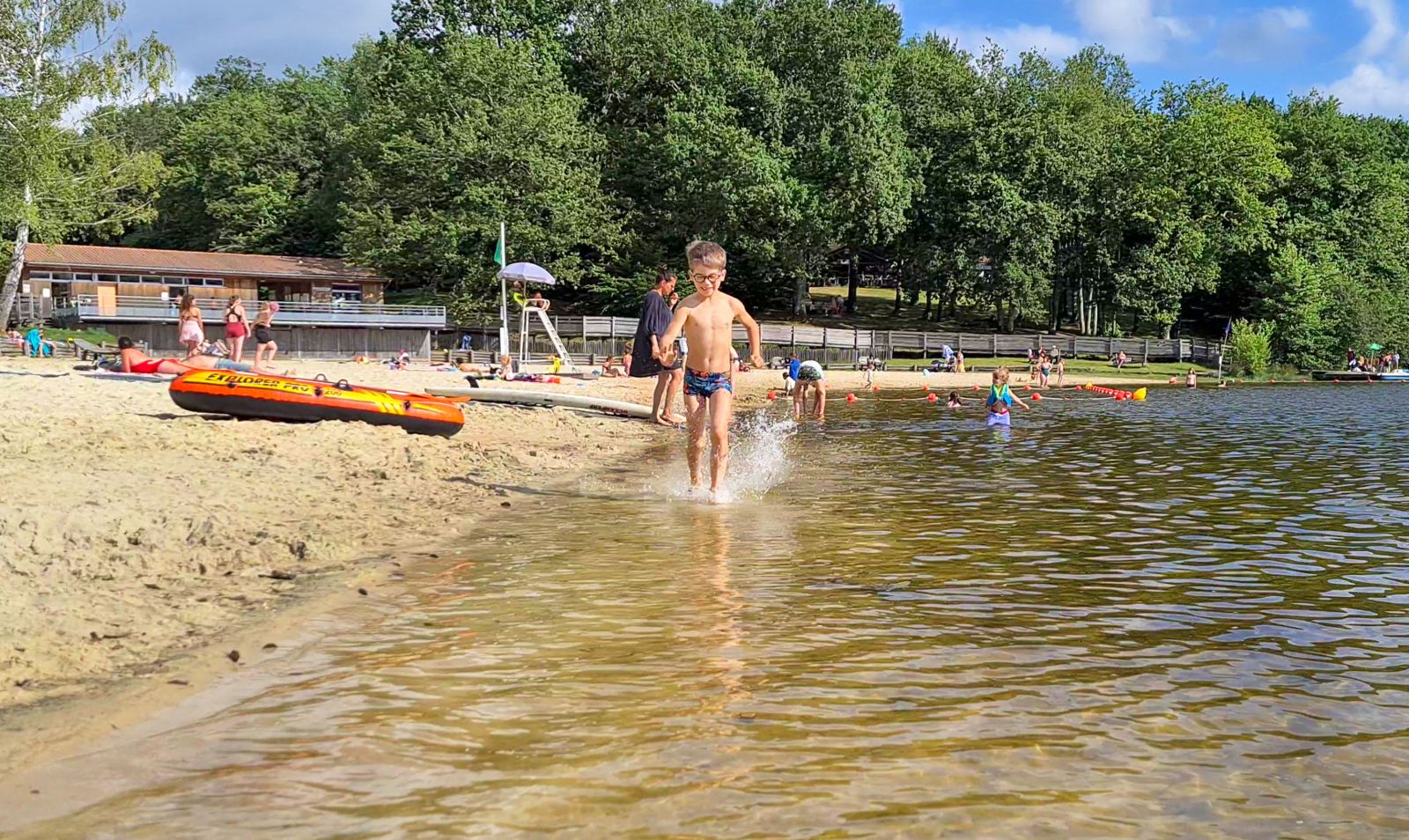
Rouffiac: Leisure center, swimming lake, nautical activities and camping!
3,0 km
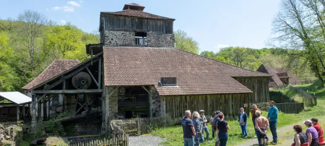
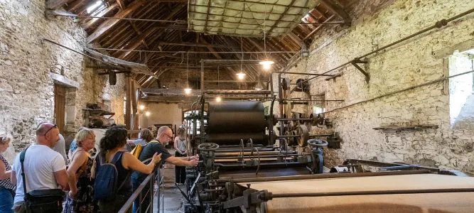
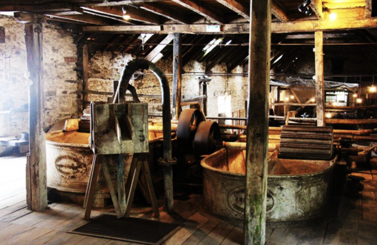
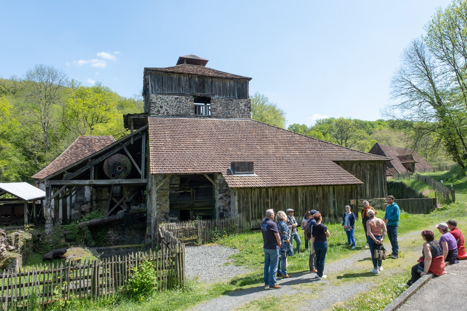
The forges of Savignac-Lédrier
6,9 km
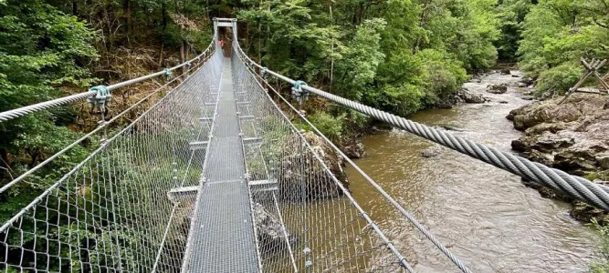
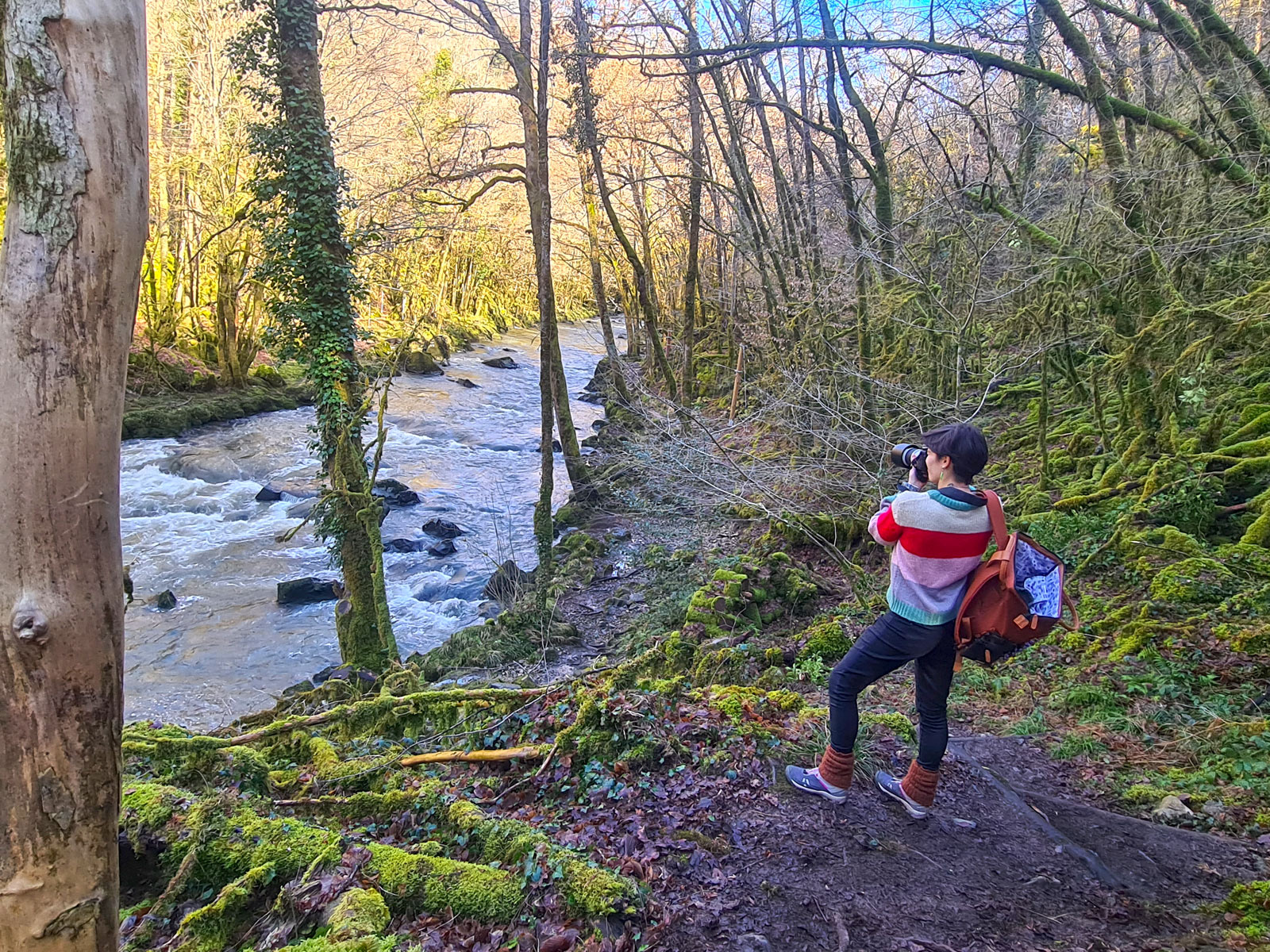
Family hike or sports trail in the Auvézère gorges?!
7,3 km
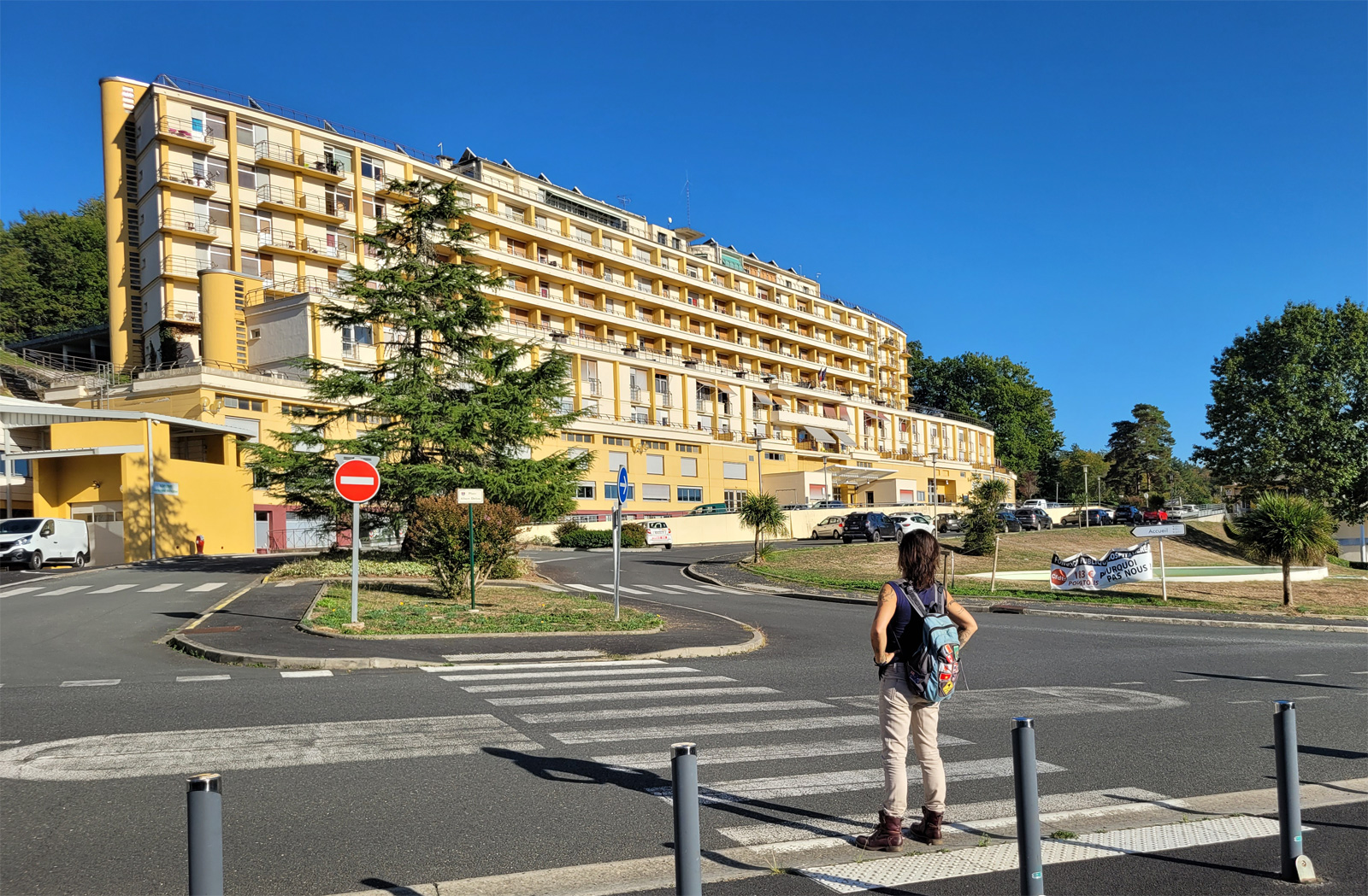
A unique and unusual place in Dordogne: La Cité de Clairvivre to discover in Tèrra Aventura!
11,4 km
Family holidays in Périgord Vert, between nature sports and outdoor recreation

12,1 km
Visit the Château de Jumilhac, in Haut Périgord

12,3 km
Gold mining initiation session

12,3 km
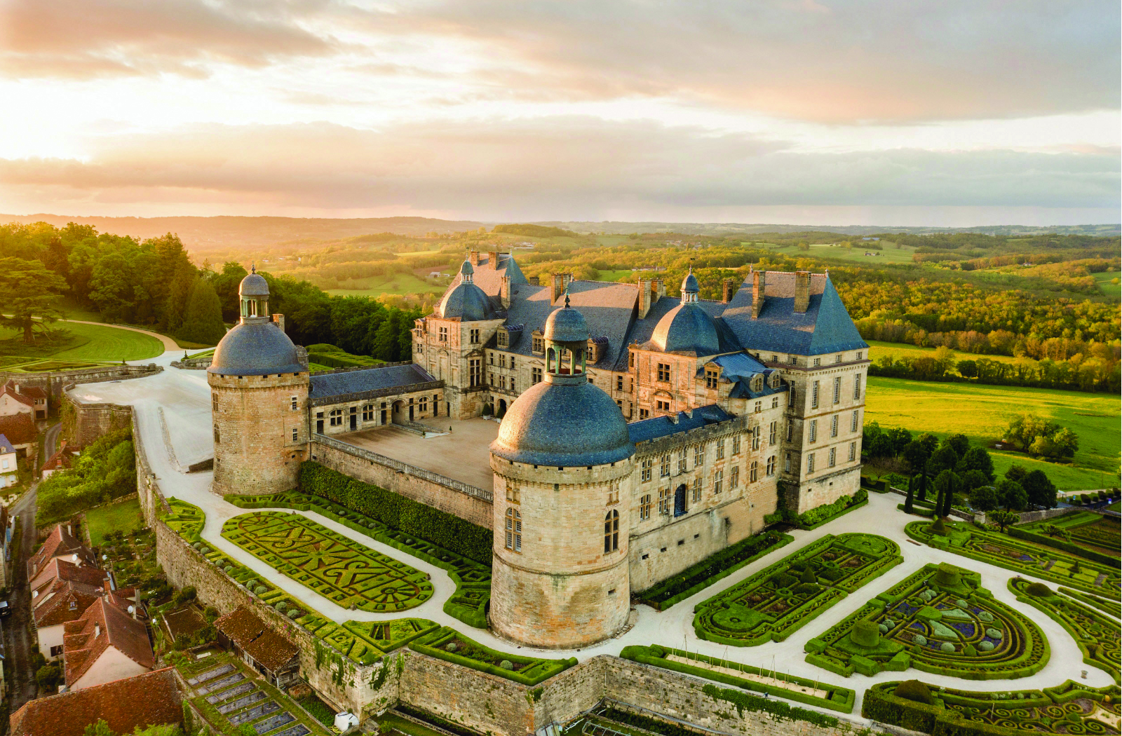
The Château de Hautefort: Visit a unique 17th century castle!
17,0 km